MAIN BRANCH: MUZAFFARPUR (BIHAR)- 842001
SONIA VIHAR, 2nd PUSTA, B-BLOCK, GALI NO. - 6
DELHI- 110094

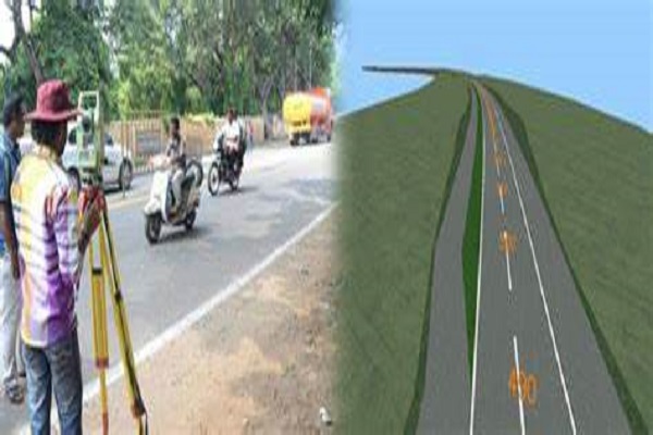
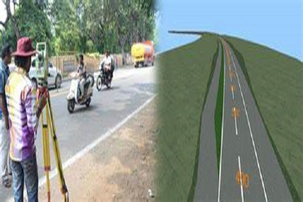
Road Surveys are carried out by our diligent and experienced team of professionals. These surveys are done to determine the condition of the pavement sub layers and the location of dangerous voids.
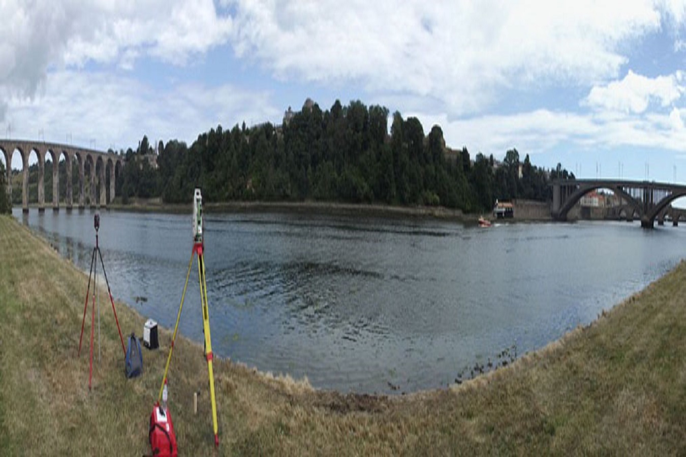
The survey is typically conducted over a river length of 10 to 40m.The survey of the shore line of a river is made by running a theodolite and tape traverse on a shore at a convenient distance form the edge of the water.
The General Social Survey (GSS) is a sociological survey created and regularly collected since 1972 by the National Opinion Research Center at the University of Chicago.
Landings Surveys are conducted at landing sites with the purpose of collecting sample data on total catch and species composition, associated effort, and other secondary data such as prices and fish size (in weight units).
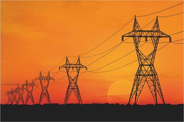
Our company is well known in the industry as the provider of a high quality of IT enabled services and the Transmission Line Survey which we offer to the customers are high on demand in the market and these services are carried out by trained professionals who ensure that the process
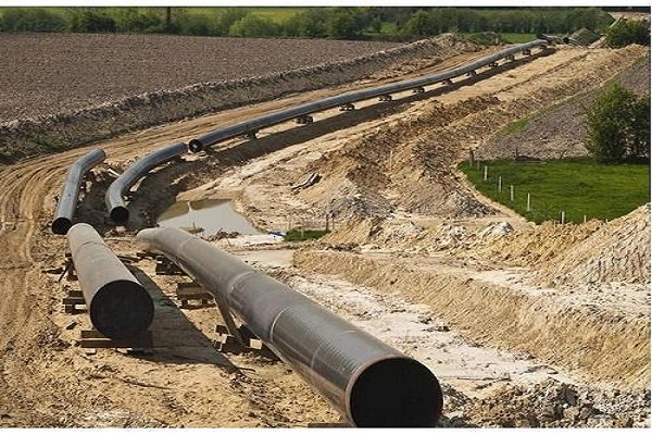
Pipeline survey is the first step in planning and installing a safe water, oil or gas pipeline. San Survey Engineering provides a meaningful and cost-effective alignment for pipe laying and prepares the necessary land accusation planning by Cadastral Survey.
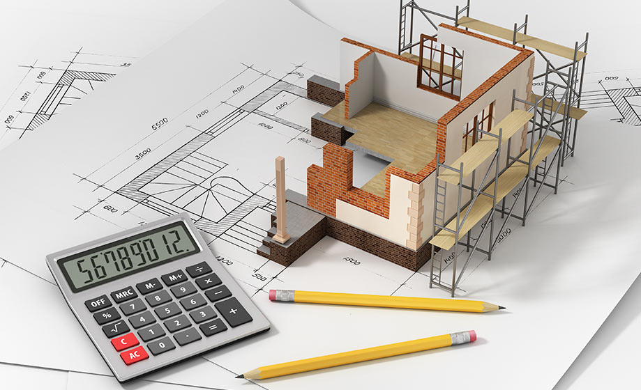
Quantity surveyors are responsible for managing all aspects of the contractual and financial side of construction projects.
Construction site work to be done by any engineer will depend on the size and complexity of the project.
Surveys are crucial tools from inception and planning to actual construction and maintenance afterwards.
In electrical engineering, a transmission line is a specialized cable or other structure designed to conduct electromagnetic waves in a contained manner. The term applies when the conductors are long enough that the wave nature of the transmission must be taken into account.
Cables are used extensively in electronic devices for power and signal circuits. Long-distance communication takes place over undersea cables. Power cables are used for bulk transmission of alternating and direct current power, especially using high-voltage cable.
Forest management is the process of planning and implementing practices for the stewardship and use of forests to meet specific environmental, economic, social and cultural objectives. It deals with the administrative, economic, legal, social, technical and scientific aspects of managing natural and planted forests
Tech building transmission line
Tech building transmission line
opgw transmission line
joint cabel
solar plant working
telecom working
HT 11 kv working
66 gas sub station
Earth wiring
earth wiring
tramission line estimation
tramission line erection
tramission line foundation
indian railways servey
Road Survey Guide While every reasonable precaution has been taken in the preparation of this Policy manual, the author and publishers assume no responsibility for errors or omissions or for uses made of the material contained herein and the decision based on such use.
Following characteristics should be learnt in the desk study of the area for location survey for roads: All details of the topography, soil and problems like drainage and maintenance, should be investigated before a scientific plan programmed can be suggested. The engineering data includes following things: Topographic and geological maps.
Pipeline survey is the first step in planning and installing a safe water, oil or gas pipeline. San Survey Engineering provides a meaningful and cost-effective alignment for pipe laying and prepares the necessary land accusation planning by Cadastral Survey.
Method of Surveying a River & Sounding. The survey of the shore line of a river is made by running a theodolite and tape traverse on a shore at a convenient distance form the edge of the water. If the river is narrow, a single theodolite and tape traverse is on one bank and both banks. Located by staid or plane table methods.
A habitat-scale assessment that characterises the local physical structure of a river channel and its margins relevant to ecological indicators such as river fly (macroinvertebrates), fish or aquatic plants (macrophytes). The survey is typically conducted over a river length of 10 to 40m.