MAIN BRANCH: MUZAFFARPUR (BIHAR)- 842001
SONIA VIHAR, 2nd PUSTA, B-BLOCK, GALI NO. - 6
DELHI- 110094

Road Survey Guide While every reasonable precaution has been taken in the preparation of this Policy manual, the author and publishers assume no responsibility for errors or omissions or for uses made of the material contained herein and the decision based on such use.
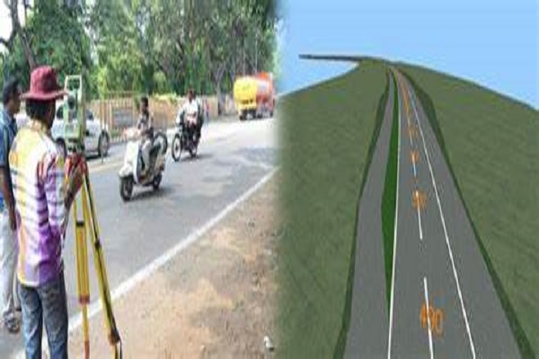
Following characteristics should be learnt in the desk study of the area for location survey for roads: All details of the topography, soil and problems like drainage and maintenance, should be investigated before a scientific plan programmed can be suggested. The engineering data includes following things: Topographic and geological maps.
Pipeline survey is the first step in planning and installing a safe water, oil or gas pipeline. San Survey Engineering provides a meaningful and cost-effective alignment for pipe laying and prepares the necessary land accusation planning by Cadastral Survey.
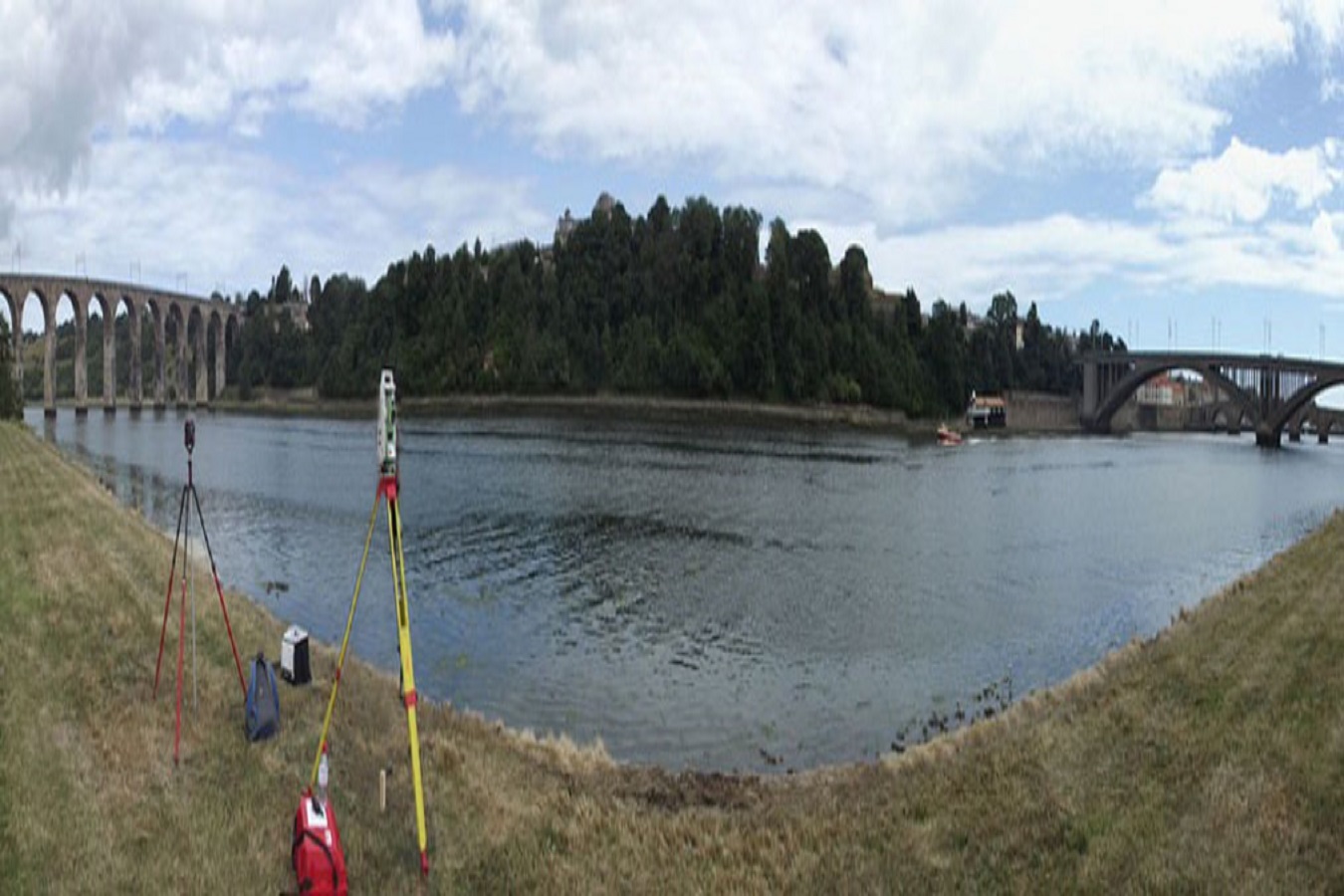
Method of Surveying a River & Sounding. The survey of the shore line of a river is made by running a theodolite and tape traverse on a shore at a convenient distance form the edge of the water. If the river is narrow, a single theodolite and tape traverse is on one bank and both banks. Located by staid or plane table methods.
A habitat-scale assessment that characterises the local physical structure of a river channel and its margins relevant to ecological indicators such as river fly (macroinvertebrates), fish or aquatic plants (macrophytes). The survey is typically conducted over a river length of 10 to 40m.